Strenghts.
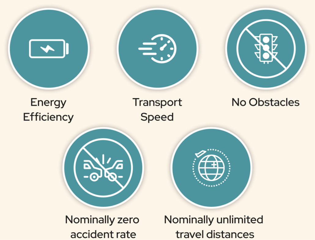
- Energy Efficiency: Drones are powered by batteries and recharged mostly with energy from renewable sources;
- Speed of transport: drones always travel at maximum speed;
- Zero obstacles: drones can reach any location. There are no limits dictated by traffic, traffic lights, blocked roads;
- Nominally zero accidents: air traffic is strictly regulated so as to eliminate
route collisions. Drones are designed to avoid
obstacles and mount bollards to avoid attacks by
birds of prey; - Nominally unlimited routes according to network design.
The Drone.
AID platform drones are able to travel autonomously along the set route, managing to return to the starting point after making the delivery of the material transported.
They are capable of assessing their surroundings thanks to a high-definition camera and artificial intelligence specially developed, so as to avoid any obstacles in flight and autonomously return to the preset course.
Delivery and Recharging Station.
To enable drones to sustain trips that cover distances beyond the rated life of their battery, a system of charging stations has been designed to be located not only at departure and arrival points, but also at intermediate points;
These stations host a rack of batteries that are always charged and available for the drones.
Should the drone’s battery level drop under a pre-defined charge level, it automatically re-calculates itd route, so that it can reach the nearest charging station.
The stations are mainly powered by solar energy, and secundarily by the power supply.
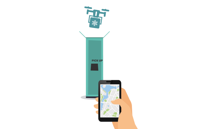
Recharging stations play a role in delivery as well, since they have a locker that allows the pickup of the goods transported by the drone.
Network Monitoring and Control.
A remote system is in continuous communication with all available drones in the field via 4G/5G network so as to receive near-real-time information about the status of the devices (battery charge percentage, flight range, hardware status), their GPS coordinates and any possible device alerts.
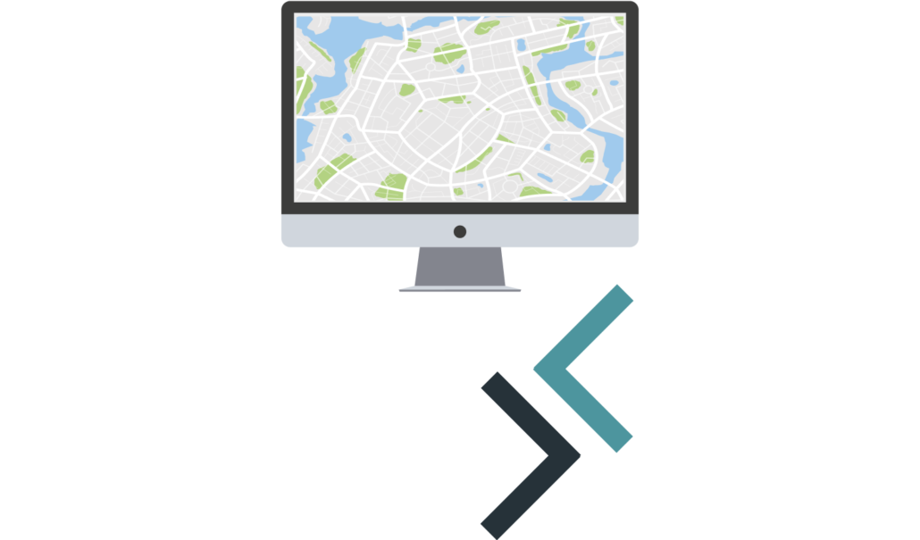
A web console at the same time allows you to view drones on a map, track their travels in real time, and select a particular drone so you can check its status and possibly connect to its camera to view the images captured at that time.
The console is also capable of remotely executing commands on the drone and allowing an operator to pilot it, in case of an emergency.
FOLLOW US
Wakala Srl, as the Data Controller for the processing and storage of data in compliance with the provisions of the GDPR 679/2016, has appointed Dr. Antonello Dionisi as Data Protection Officer with full functions as disposed by the current legislation on the subject. The D.P.O. can be freely reached at the email: dpo@hideea.com.
Copyright © 2014-2024 Wakala Srl | Made with ❤ by Wakala

